Built for Hunters, Landowners, and Rural Businesses.
Pricing is straightforward and published. Every service is delivered with full reporting. Discounts apply for repeat clients, outfitter partnerships, and annual memberships.
Thermal Deer Recovery
You hit one at last light and you cannot find him. M4T thermal picks up body heat through brush and timber that no flashlight will ever see.
- Standard recovery call$300
- Repeat client$250
- Outfitter seasonal bulk (6 calls)$2,400
- Bulk calls past the 6th$300 ea
- No find (reduced rate)$200
- Mileage past 60 mi round trip$1.25/mi
- After hours (7 to 11 PM)+$50
Includes 60 mile round trip from my location at the time. GPS recovery pin documented. Up to 90 minutes on site. Outfitter bulk contracts billed annually pre-season.
Habitat & Hunting Strategy
Complete property intelligence. High resolution mapping, stand and blind recommendations, wind analysis, KML and OnX export, full PDF report.
- Standard (up to 100 ac)$450
- Premium (101 to 250 ac)$650
- Ultimate (251+ ac)$850
Premium adds thermal wildlife observations and bedding analysis. Ultimate adds comprehensive thermal survey and annual update option.
Seasonal Hunt Flights
Short, targeted flights timed to the deer calendar. Lighter scope than the full Habitat package, priced to layer onto an existing client or outfitter relationship.
- Aerial Property Scout (up to 40 ac)$149
- Aerial Property Scout (41 to 100 ac)$249
- Aerial Property Scout (101 to 300 ac)$399
- Velvet Inventory Flight$179
- Velvet Bulk (5+ tracts)$129/tract
- Pre-Rut Stand Site Map$199
- Pre-Rut + Food Plot Consult$349
- Land Strategy Consult (standalone)$199
- Year-In-Review (post-season)$399
Land Strategy Consult is free with any Scout booking. Velvet Bulk requires booking before August 15.
Rural Property Media
Aerial photography, property video, highlight reels, and KML export. Built for listings, leases, real estate agents, and outfitters.
- Basic (up to 50 ac)$350
- Premium (51 to 200 ac)$600
- Deluxe (201+ ac)$1,000+
Deluxe includes 30+ aerial photos, property video, highlight reel, and OnX and KML export.
Landowner Thermal Assessment
Thermal scan, property overview, problem identification, fencing, water, drainage, and wildlife activity report.
- Up to 100 ac$300
- 101 to 300 ac$500
- 301+ ac$700+
Includes consultation call. Add wildlife observation overlays for $150.
Structure & Asset Inspections
Roof, building, outbuilding, barn, grain bin, and large facility inspections. Thermal and visual scans for moisture, heat loss, and storm damage.
- Basic (up to 5,000 sq ft)$250
- Standard (up to 10,000 sq ft)$400
- Complex (large facilities)$650+
Common for insurance documentation, post storm assessment, and pre purchase due diligence.
Agricultural Solutions
Crop and field assessment, livestock and herd checks, grain bin inspections, storm damage, fencing review.
- Thermal livestock check (single)$89
- Livestock weekly bundle (3+ weeks)$59/wk
- Crop / field assessmentQuote
- Storm damageQuote
- Fencing / infrastructureQuote
Counter-seasonal to deer recovery. Calving-season bundles available February through May. Bundled discounts available for ongoing seasonal contracts.
Add On Services
- Additional acreage (over package limit)$1.50/ac
- Thermal wildlife observation$150
- Food plot planning$150
- Property boundary mapping$100
- Rush turnaround (24 to 48 hrs)+$100
- Annual habitat membership$1,200 to $3,500
Professional Hardware. No Hobby Kit.
The DJI Matrice 4 Thermal is the same platform used by professional search and rescue, public safety, and surveying operations. Flown by an FAA Part 107 licensed pilot, fully insured.
DJI Matrice 4 Thermal
Wide angle, telephoto, and thermal all on one airframe. Real time radiometric temperature data over canopy and brush. Built for the work, not the hobby.
Real Work, Real Property Intelligence.
Every flight produces deliverables built for actual decisions. Maps you can act on. Models you can share. Thermal imagery that finds what a flashlight cannot.
Orthomosaic Mapping
High resolution stitched aerial maps with measurable ground reference.
Vegetation Analysis
Color graded maps identifying healthy cover, stress zones, food plot performance, and bedding indicators.
Elevation Modeling
Digital surface models revealing terrain, drainage, water features, and ridgelines that funnel deer movement.
Hillshade & Contour
Topographic shading that exposes pinch points, saddles, and travel corridors.
3D Property Models
Photorealistic three dimensional reconstructions for property marketing and listing presentations.
Aerial Documentation
Lake of the Ozarks timber and ridge country, captured at low altitude.
Eight Counties. One Phone Call.
Active coverage across the Lake of the Ozarks and the eight surrounding rural counties. Sixty mile round trip included from my location at the time. Travel beyond included radius billed at $1.25 per mile.
Owner Operated. Hunter to Hunter.
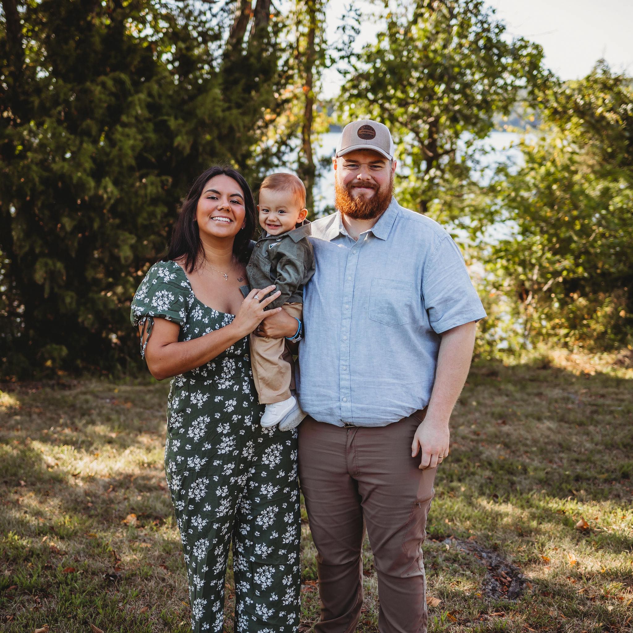
RWR is owner operated. When you call, you are talking to Ryan Rounds, the same person who shows up with the truck, the M4T, and a real plan to find your deer or map your ground.
Based in Sedalia with deep roots in Central Missouri whitetail culture, Rounds Wildlife Resources was built to fill a gap that hunters and landowners around the Lake of the Ozarks have been talking about for years.
Every job is logged. Every recovery is documented with a GPS pin. Every map is delivered as a PDF along with KML and OnX export so you can carry it into the field.
No call center. No voicemail. No apprentice. You get Ryan, every time.
The same hands that fly the drone, draft the map, and bring your buck out of the timber are the hands that answer the phone when you call.
Ready When You Are.
573.880.9571 roundswildliferesources@gmail.comText or call. 24/7 during hunting season.